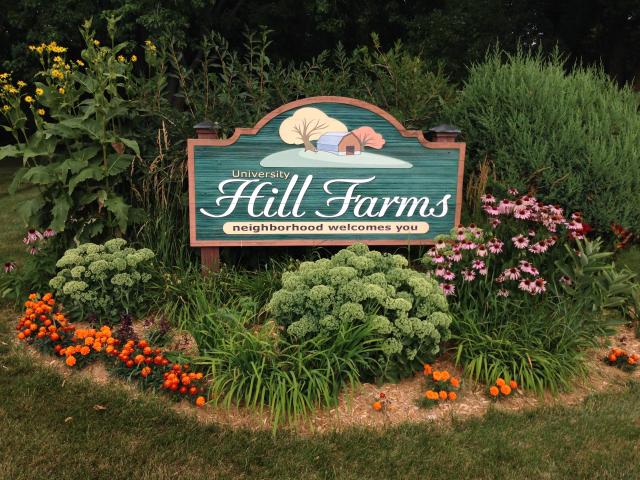


A $50,000 grant from the city of Madison is helping the Hill Farms neighborhood create a plan to guide changes to the area over the next decade.
With a focus on maintaining a safe and livable community, the plan examines neighborhood assets, housing needs, infill and redevelopment opportunities and transportation. Among the proposed changes are uses for underutilized lands, an expansion to Rennebohm Park and ways to make the neighborhood more pedestrian- and bike-friendly.
The final plan is expected to go before the Common Council this fall. The plan area stretches from University Avenue to Mineral Point Road and Midvale Boulevard to North Whitney Way and South Rosa Road. According to the draft plan, this area is home to nearly 6,000 people.
Once on the outskirts of town, the Hill Farms area was previously farmland owned by the University of Wisconsin-Madison. The land was developed into a residential neighborhood in the 1950s and 60s.
To create the plan, the city’s Planning Division is working with consultants Urban Assets, LLC and Cuningham Group, Inc. and a mayoral-appointed steering committee.
“We want to make sure that what we present is reasonable, and that any redevelopment doesn’t degrade the quality of life in our neighborhood,” said Joe Keyes, chair of the steering committee.
Planners placed a strong emphasis on gathering feedback from residents, local businesses and service providers. Open house meetings, online surveys, focus groups, exit interviews and bus stop interviews helped shape the plan. Feedback was also gathered from seniors, school administrators and renters.
“Through the neighborhood association we sent out a survey and got very good results. You don’t
Another consideration in the plan was an aging population. The area has a higher number of persons 65 years or older compared to the rest of the city.
“One of the themes we have tried to emphasize is multigenerational planning for a multigenerational neighborhood,” said Huggins.
“Younger residents wanted transit, walkability, bus routes and to be close to work,” said Jule Stroick, project manager for the Hill Farms plan and city planner for the City of Madison. “We looked at those elements in our planning, especially those redevelopment areas.”
One area that could not be addressed in the plan is a 21-acre Department of Transportation site. That land is owned by the state.
“One of the things that has been difficult is that the DOT site was not part of the study area. We could not address what was going to happen there,” explained Huggins. “There is a lot of concern about what is going to happen there.”
The state previously worked with private consultants to develop a plan to redevelop the DOT site, however that plan has since expired.
Once approved by the Common Council, the plan will become part of the City’s Comprehensive Plan. The full draft plan can be viewed here.
|
|
|
Welcome to the Madison Commons, a website designed to provide news and information about all of Madison's neighborhoods and a crossroads for the discussion of community issues. The name comes from the idea of a village commons, a place for news, talk, debate, and some entertainment, too, that's open to everyone.
All rights reserved. Read more about the Madison Commons and its partners.

